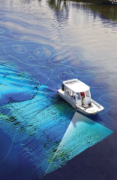
What is Hydrographic Surveying?
Hydrographic surveying is the process of measuring and mapping the physical features of bodies of water, including oceans, seas, rivers, and lakes. Using advanced sonar technology and other geospatial tools, hydrographic surveys capture detailed information about water depths, seabed topography, underwater structures, and other important features below the water’s surface.
Hydrographic Surveying Services We Offer:
- Bathymetric Surveys: Measure the depth of water bodies to map the underwater terrain and identify features such as slopes, ridges, and depressions. This is crucial for navigation, construction, and environmental studies.
- Seabed Mapping: Provide detailed, high-resolution maps of the seabed to support dredging operations, offshore construction, and pipeline or cable laying.
- Tidal and Current Analysis: Measure water movements, including tides and currents, to help with marine construction projects and ensure safe operations at sea.
- Port and Harbor Surveys: Support port and harbor development with precise data on water depth, seabed conditions, and potential navigational hazards.
- Environmental Impact Assessments: Conduct surveys to evaluate the potential effects of construction or other activities on marine ecosystems, helping to preserve sensitive environments.
