
GEOSPATIAL SURVEYORS
Premium and affordable surveying solutions
ABOUT US
Operating in the Maldives, Geospatial Surveyors specialize in land, UAV, and hydrographic surveys. Our team comprises highly experienced surveyors, dedicated to delivering precise and affordable solutions.
OUR SERVICES

Land Survey
From demarcation, land use planning, Volume Calculation, As-built survey and resort development surveys, we offer you all types of land surveying services for your project.

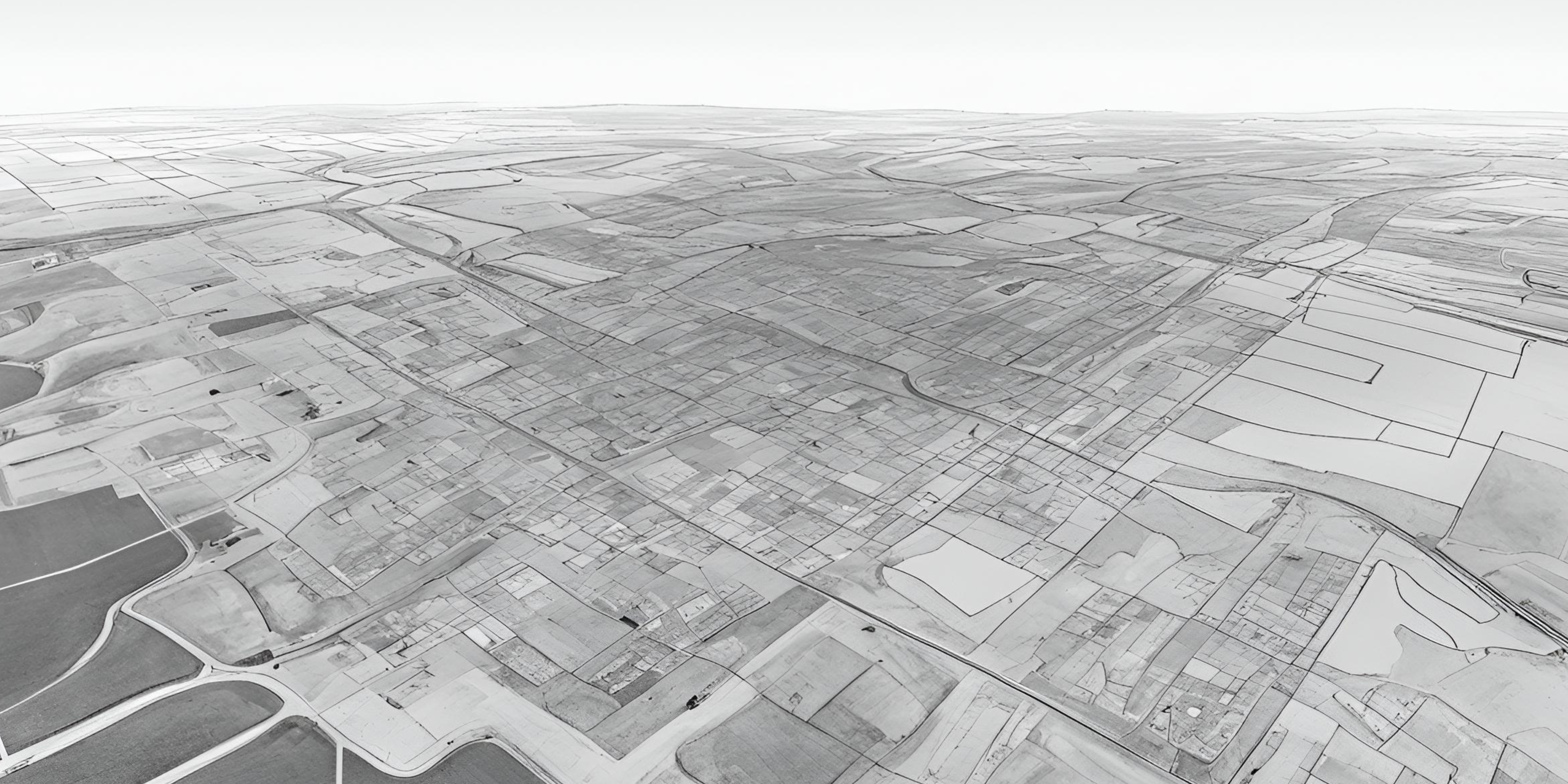
UAV Survey
From aerial mapping, videography, site monitoring and asset inspections to point cloud modelling, we offer you all types of drone imagery services for your project.

Hydrographic Survey
Offering Underwater mapping, contours and volume calculation we provide all types of hydrographic survey services for your project.
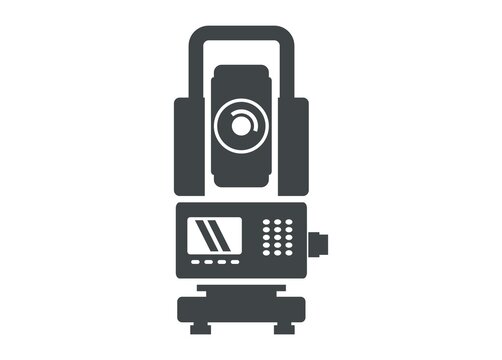
equipment rental
We offer high-quality geospatial equipment for rent to meet your project needs, ensuring affordability and reliability.

OUR projects
Bileffahi
Boundary survey
Thilafushi
Boundary survey
Thakandhoo
As-built and mapping survey
Maarandhoo
As-built and mapping survey
Molhadhoo
As-built and mapping survey
Kurin’bi
As-built and mapping survey
Hanimaadhoo
As-built and mapping survey
Veymandoo
As-built and mapping survey
Faresmathoda
Boundary survey
Eydhafushi
As-built and Boundary Demarcation
Hulhumale
As-built and setting out survey
Male
control survey
Gulhifalhu
As-built survey
Goidhoo
As-built survey
kudagiri
Aerial survey
Vaadhoo
As-built
Contact us
Tel: +960 916 4111 & +960 994 3873
geospatial.mv@gmail.com